3 Scenic Rides In S. California
Riding The Newport Beach, Dana Point. San Clemente & Laguna Woods Area
Our local bicycle club does scenic rides on a weekly basis.
Every winter, we leave the Kansas City area for the warmth of S. California. We also get the beach. As former New Yorkers who grew up and lived by the ocean, moving to Kansas City left a big hole.
Scenic Rides #1 – Laguna Woods to Dana Point/San Clement
This post is only the first of three (actually two, as I seemed to have forgotten to write up the third ride. I just noticed this in January 2025).
Our group starts from LW Village, but since there is restricted access to parking, I have started the ride from the Aliso Viejo Community Center.
For a longer version, if you know the roads, you can park outside the Community Center parking and ride in.
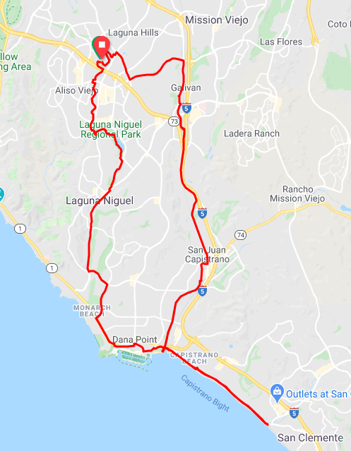
The full ride is 32 miles, but I will explain how to make it shorter or longer.
Out the door, you are on the Aliso Viejo multi use path, heading South.
(If you head North, you will have a 13-15 mile gentle climb to Cooks Corner, all on bicycle trail. Excellent for training.)
OFF ROOUTE: At the first street, you could go right, then left for a ride down the canyon road. It is really beautiful, but only about four miles. For an additional eight miles you could do that and then pick up the route again.
ON ROUTE: Turn Left, then right down the the cross walk light. You will come back up the road and enter the gate in to Laguna Niguel Park. You will be off road for several miles. Always, nice.
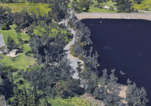
There is not much traffic in the park and there is a really nice lake. The route will take you through the entire park and let you out on a multi use trail at the end of the last parking lot.
Ride this until it ends at Crown Valley Parkway.
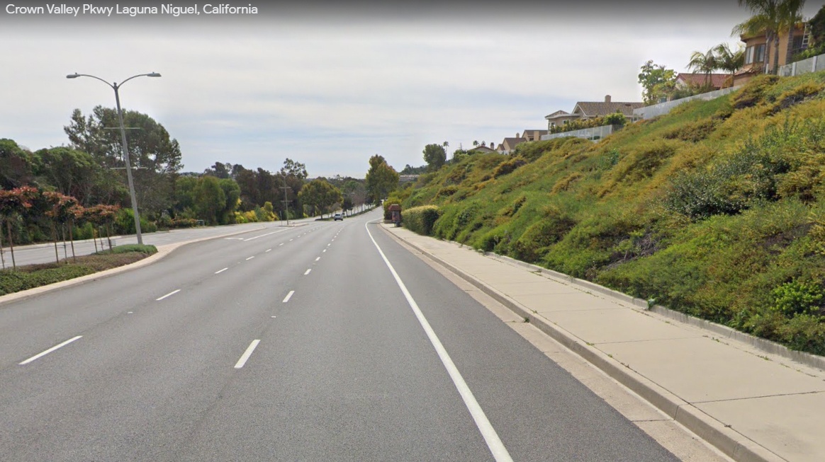 Yep, you are on a road with moderate traffic. There is a dedicated bicycle lane, however. Traffic is usually well behaved. Cyclists need to be well behaved too.
The route map will, eventually, take you to Dana Point.
OFF ROUTE: If you want to shorten the ride, stop for a break at Dana Point Harbor.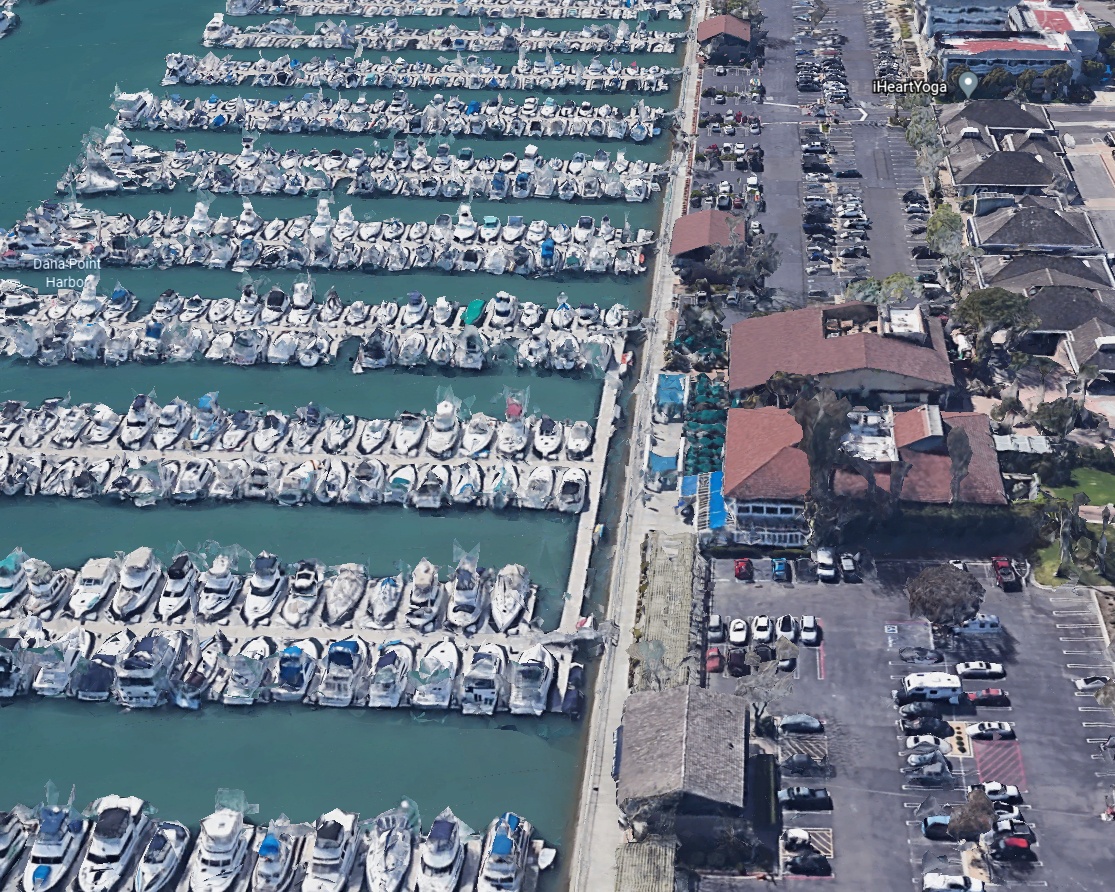
When you are ready, continue the ride to Doheny Beach. The route to San Clemente continues straight. However, if you go through the parking lot to the water front, you can pick up the bike trail back and skip the 8 mile out and back to San Clemente.
ON ROUTE: The out and back to San Clemente first goes through the park camping grounds, right along the ocean. There is then a dedicated path, with a barrier to the road, out to San Clemente.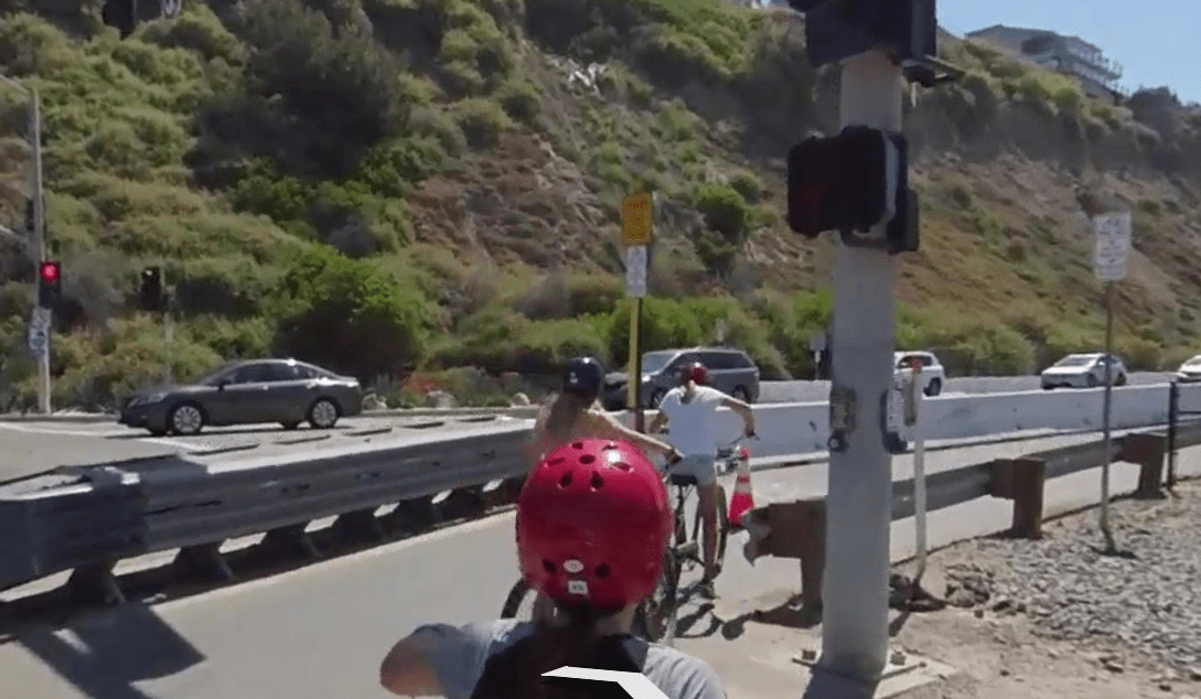
On the way back, you come back to Doheny Beach to pick up the bike trail heading north along the canal.
The route has you exiting the bike trail for a break in San Juan Capistrano.
OFF ROUTE: If you prefer to skip the break, stay on the bike trail until it ends. Get on the residential street (you can only go left) until it ends. Go right at the end, then left over the RR tracks. You will then be back on the route.
ON ROUTE: Follow the road through town. You will, eventually get into the semi open area of the Northwest Open Space.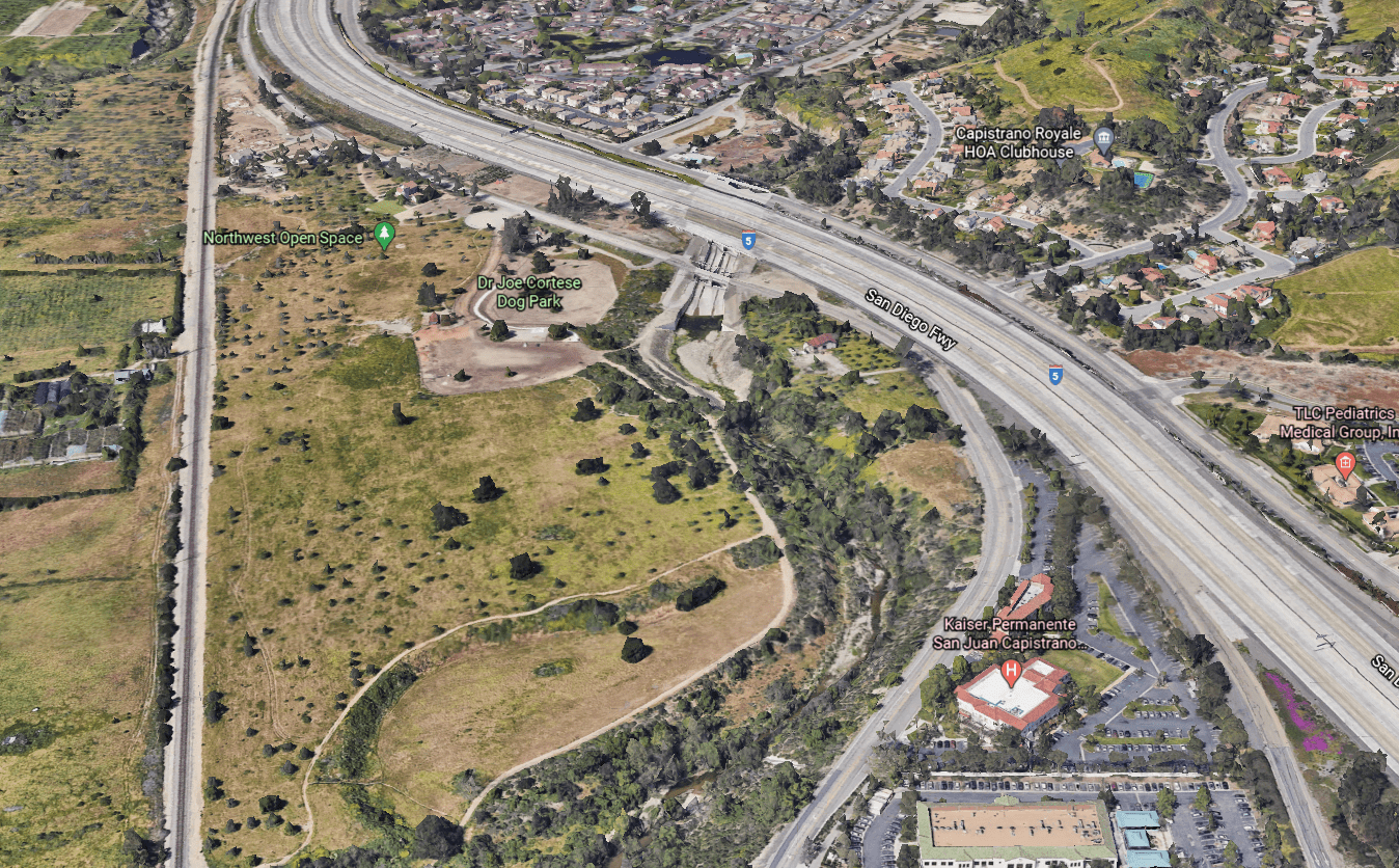
At the RR Station, you will need to cross under it to continue the ride.
The remainder is pretty simple, with a climb up OSO Parkway, followed by a long, long downhill.
You will get back on the bike trails at the end of the ride, to finish up.
Go for smell the roses on the trails and speed on the road.
Glenn Abelson
